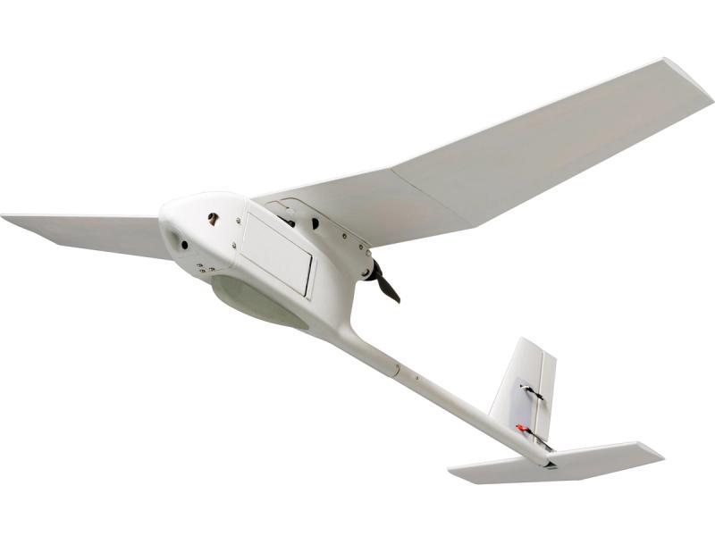
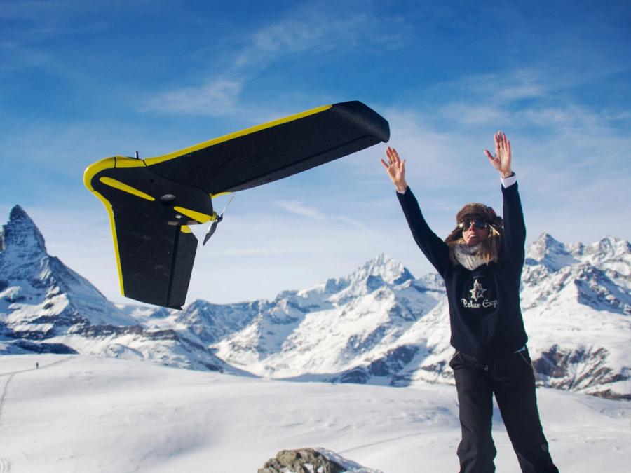
eBee
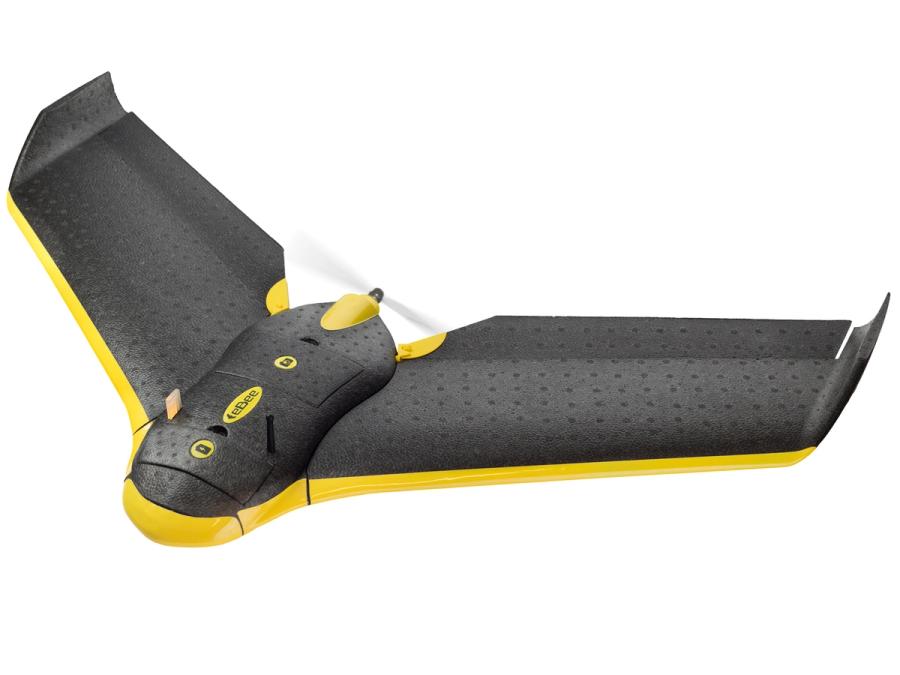
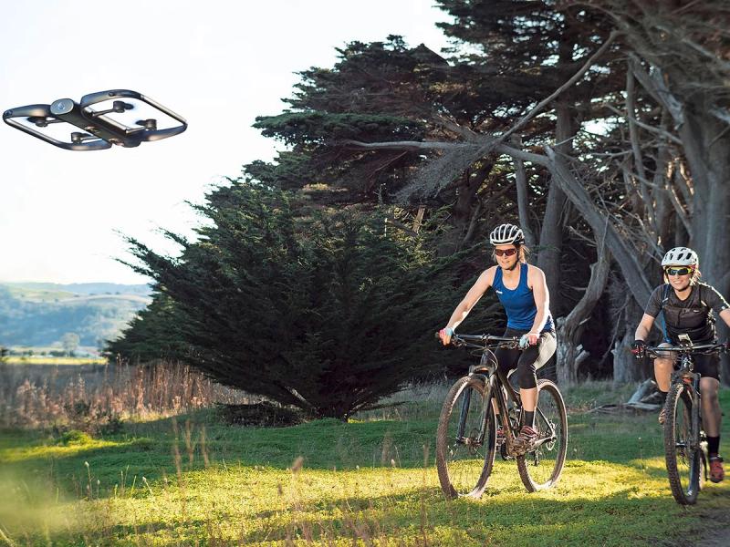
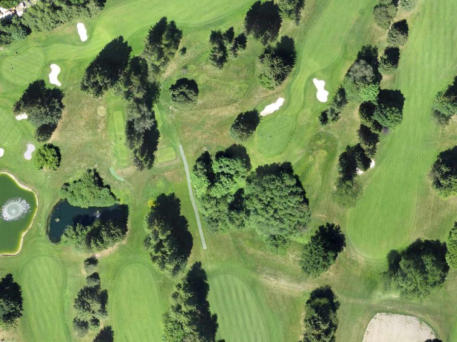
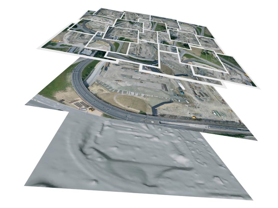
eBee is an ultralight fixed-wing drone designed for aerial imaging, mapping, and inspections. Just give the eBee an area to survey and it will plan, fly, capture images, and return to you—all by itself.
More videos
Did you know?
eBee has been used around the world, from Haitian villages to Swiss mountains to Australian bush lands.
History
The technology behind senseFly's robots first emerged in 2001 at the Ecole Polytechnique Federale de Lausanne (EPFL), when researchers began investigating the control and navigation strategies of flying insects. This pioneering research led to the development of a highly integrated autopilot that used sensors and control strategies similar to those found in flies and bees. In late 2009, the researchers teamed up with a land surveying engineer and a test pilot to found senseFly. Their first product was the swinglet CAM, a 500-gram fully autonomous drone for high-resolution aerial imaging and mapping. The eBee is senseFly's latest ultralight drone. It can fly faster and with more precision, and fits inside a carry-on-sized suitcase.
Specs
- Overview
Easy-to-use interface for planning mapping missions. Integrated ground distance sensor for precision landing. Fits in a carry-on suitcase.
- Status
Ongoing
- Year
2012
- Website
- Width
- 96 cm
- Height
- 6 cm
- Length
- 40 cm
- Weight
- 0.67 kg (including battery and camera)
- Speed
- 65 km/h (top cruise speed)
- Sensors
Autopilot: three-axis accelerometer and gyroscope (for inertial stabilization), three-axis magnetometer, barometer, differential pressure sensor and pitot tube (airspeed), optic-flow-based ground sensor, and GPS. Payload: 16-megapixel camera.
- Actuators
Brushless DC motor for thrust, two servos for controlling ailerons.
- Materials
EPP foam body and wings, carbon fiber reinforcement.
- Compute
On-board ARM Cortex M4 32-bit microcontroller. Full duplex 2.4-GHz wireless communication for telemetry and data logging (range of 3 km). Backup 2.4-GHz remote control (range of 1 km).
- Software
On-board: Custom software written in C for embedded microcontrollers. Ground station: eMotion 2 flight planning and monitoring; Terra3D image reconstruction software.
- Power
1800-mAh lithium-polymer battery, 45 minutes of flight.
- Cost
- $20,000 (including drone, ground station software, imaging and mapping software, accessories)